- 16 Posts
- 11 Comments

 2·1 month ago
Yep, and you can see a bit of Civic to the right of it behind Mt Taylor.
It’s from a relatively unusual combination - a 60s era Hasselblad 500c and 150mm lens paired with an older (well much younger than the rest of the system, but still old for digital era) Leaf Aptus digital back I recently picked up. Not something particularly practical for most uses (the body being all manual and the back only good for very low ISO ratings) but old cameras are a bit of an interest of mine.
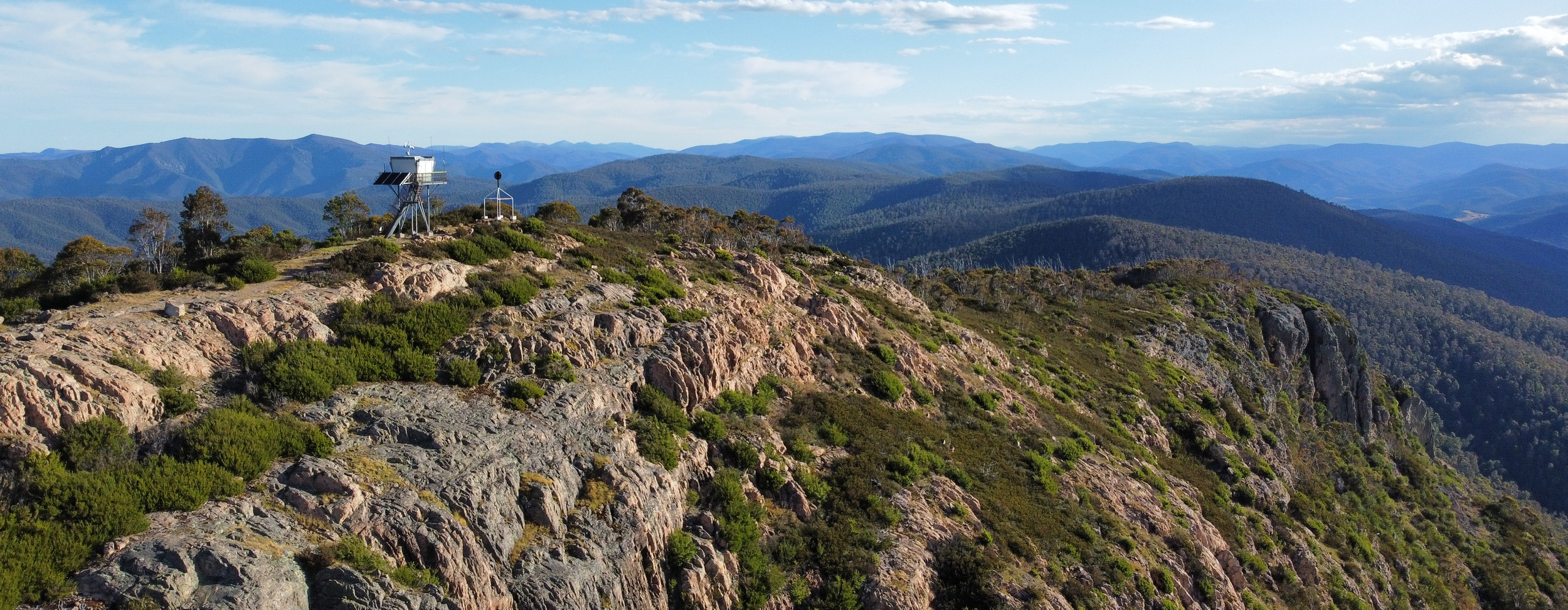
It’s a trig point, one of many around the country which were originally used for surveying purposes. They’re basically a vestigal structure now as things like GPS have made them redundant for modern use. This design is pretty common but you do find a few variations on the theme - basically all I’ve seen have the top circles on a post but the support structure varies.
If you check out prominent hills in your area there’s a good chance that you’ll find some trig points, they were very widespread and large numbers are still around albeit often in a state of disrepair or with vegetation blocking them from view
I’m forever mixing up Ginini and Gingera personally
You’re not the only one - for years the wikipedia page for Mt Ginini had the top of Mt Gingera as the primary picture…
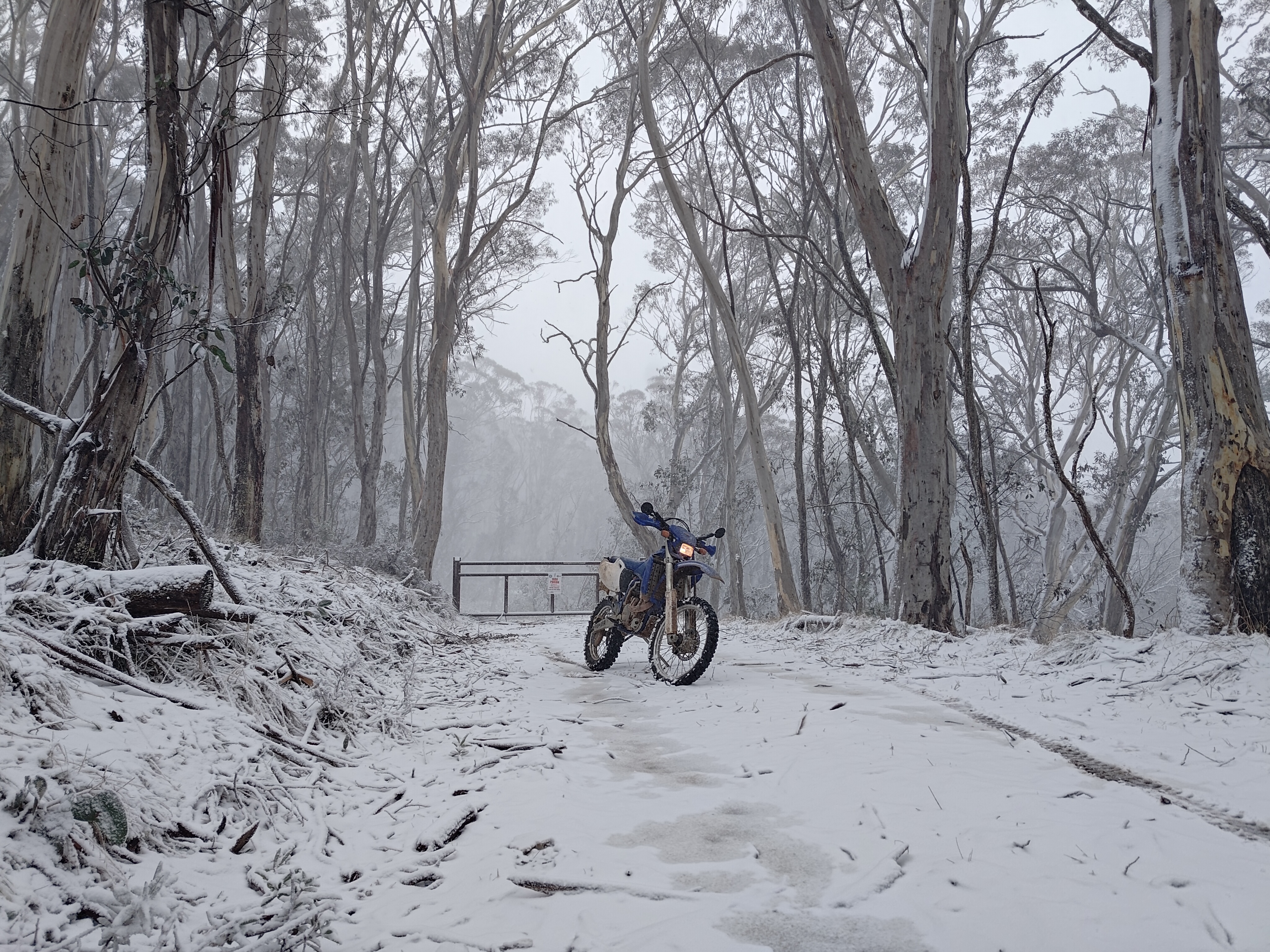
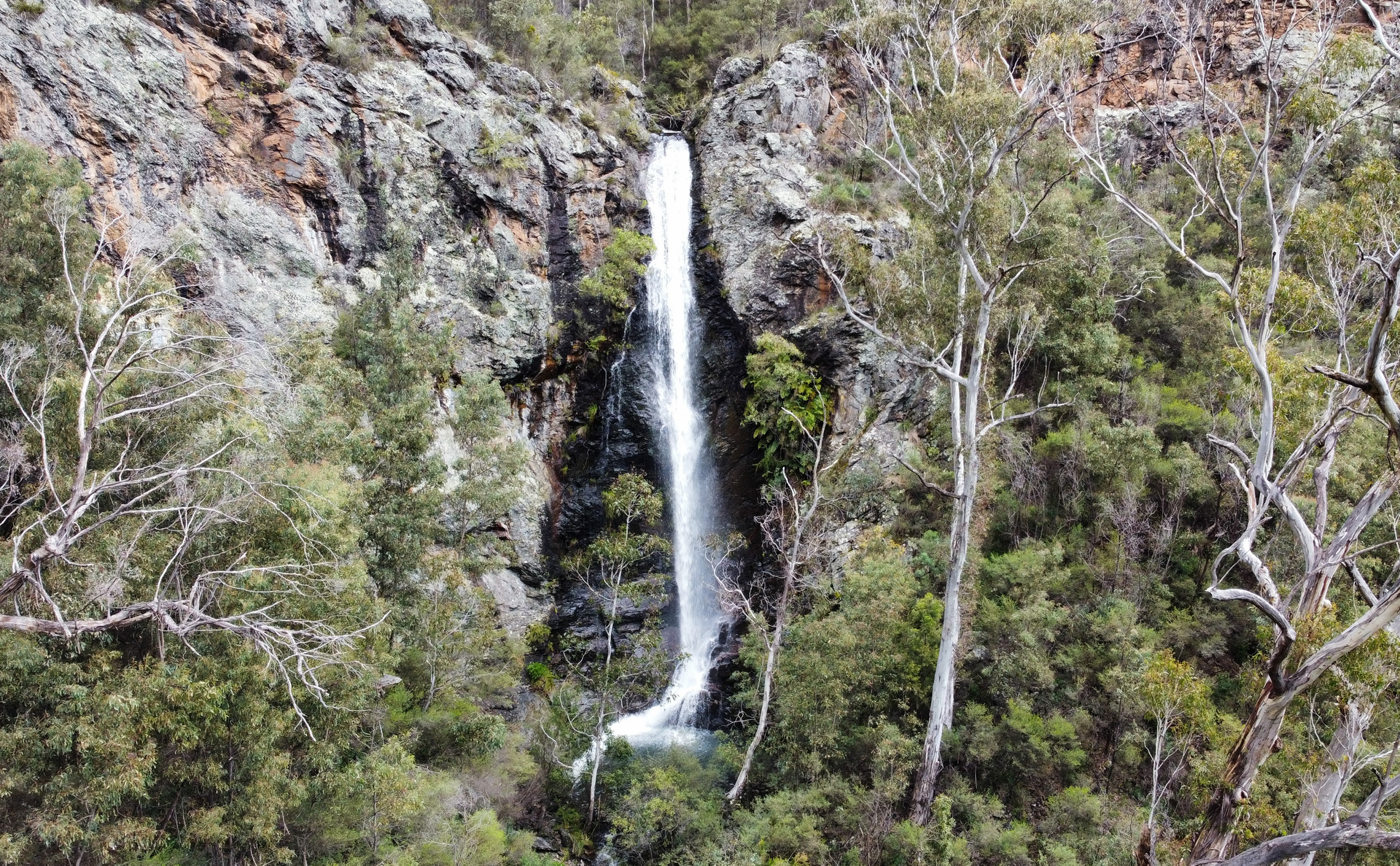
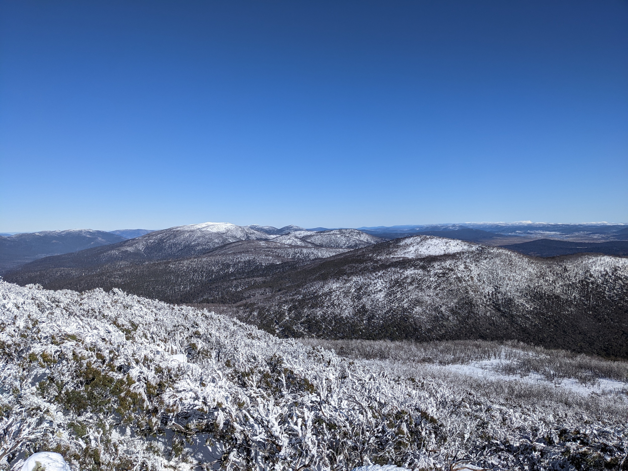
Mt Franklin is indeed a good destination for a snow hunt, it’s the usual winter locked gate and if it’s closed below that (like today) it’s usually because there’s ok snow further down the hills. The walk up to the trig point gives a bit more height and a view too. Pity the old chalet burnt down as that sounds like a place that would have been interesting to check out.
D’oh, it is indeed Coree. Ginini was where I would have liked to get to but they don’t tend to leave the gate open to there in winter.
Thanks :)
deleted by creator
It was pretty busy up there, plenty of 4wds out and about heading to Mt Coree and up Mt Franklin road to either Bulls Head or where the road was closed at the Snow Gum gate. Luckily not at a traffic jam sort of level though - the dirt roads tend to dissuade a lot of people.
I can imagine Corin road would indeed have been a mess today, it can be bad enough on a regular weekend let alone a snow day where you have considerably more traffic and even more chance of people driving super slowly or trying to pull over for photos.
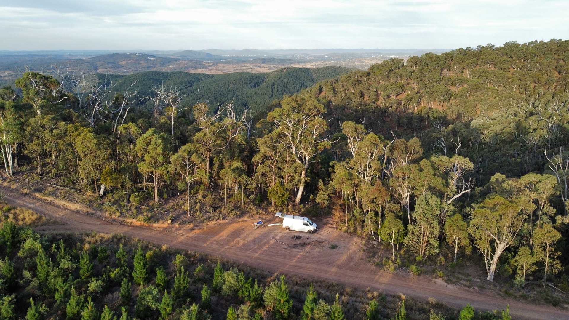
The chain was going to be in the water regardless, because unless you’re really carrying a lot of speed bikes don’t float over water. Sure it would have been better environmentally to stay home and not venture out at all, but I actually like to see some of said environment and a dirt bike is a fun way to do so (and it even has less of an environmental impact than a 4wd).
It’s where Jerrabattgulla fire trail crosses Jerrabattgulla creek, in Tallaganda state forest. It’s a nice little green section around there surrounded by drier more scrubby country on the way in and out.
The fire part comes along when the water dries up
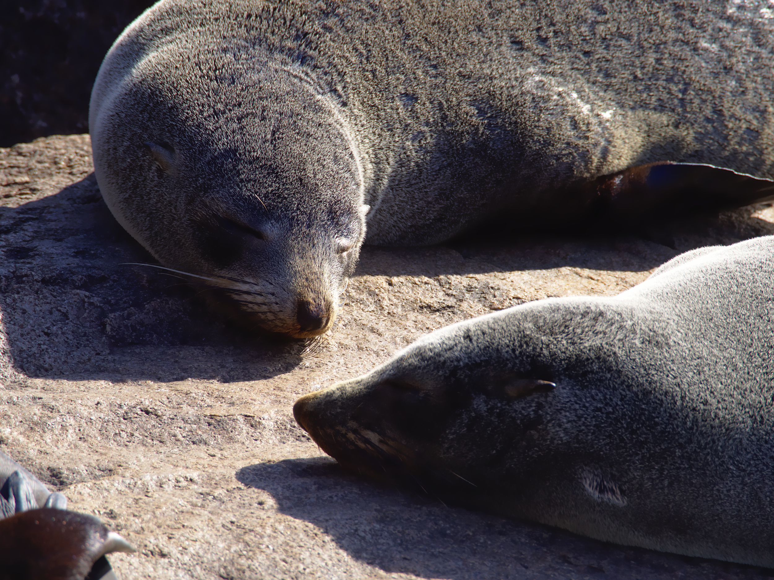
When they tried Roombas for the yearly vacuuming of these rocks they all fell off the edge and caused a lot of hard work retrieving them, after that they changed the name of the place and went back to vacuuming it with teams of people.